Pilgrimage on your doorstep: There are also pilgrimage routes in Germany. One route of the Way of St. James, for example, leads from Minden via Bielefeld and Lippstadt to Soest. You will also pass through Gütersloh on the way. Here the original pilgrimage route was reconstructed by the Landschaftsverband Westfalen-Lippe (LWL). For more information about the exact route, please contact the Landschaftsverband Westfalen Lippe! We will be happy to stamp your pilgrim's passport at our ServiceCenter.
For more information, click on the logo.

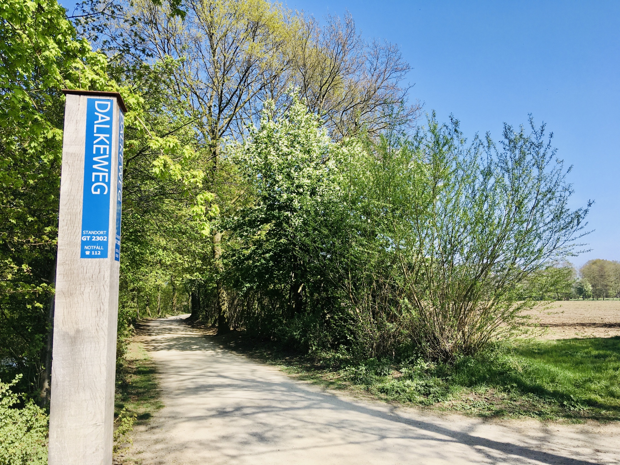
Along the Dalke, interested visitors will find 20 statiions highlighting the ecological and economic importance of water. This includes the topics water cycle, flowing and still waters, renaturation, hydraulic engineering, habitats and forms, water quality, water chemistry and physics,
flood protection, hydropower, water use, water purification,
landscape and urban history as well as local recreation.
For more information, click on the image.